


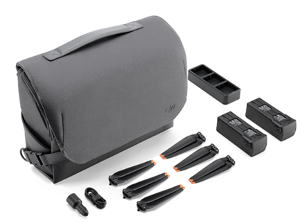
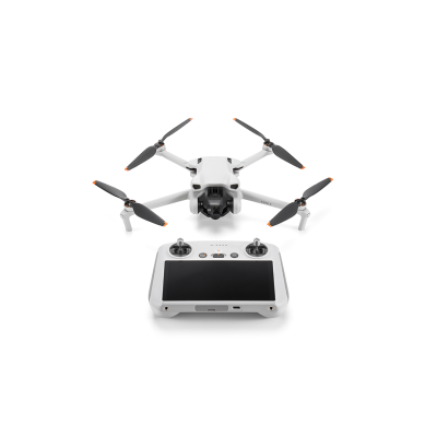
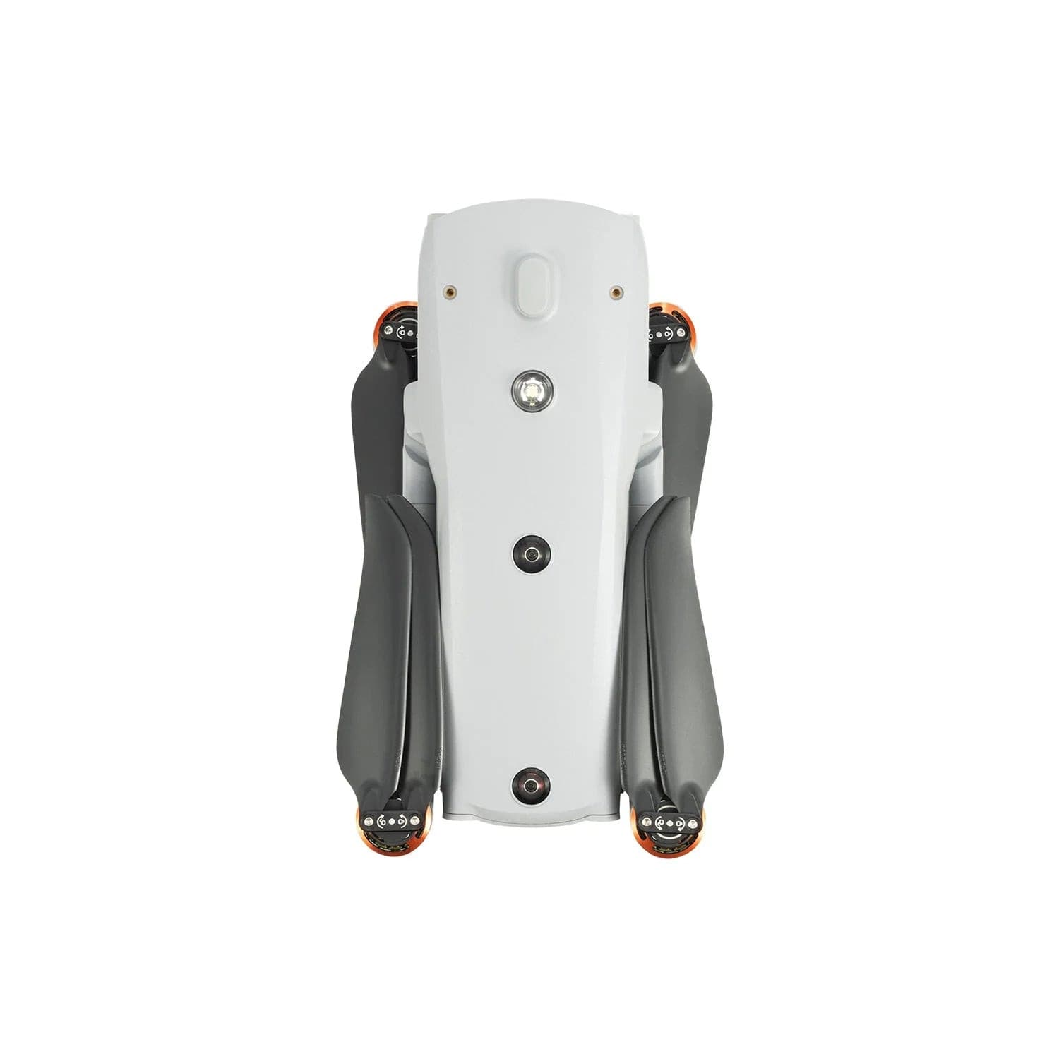
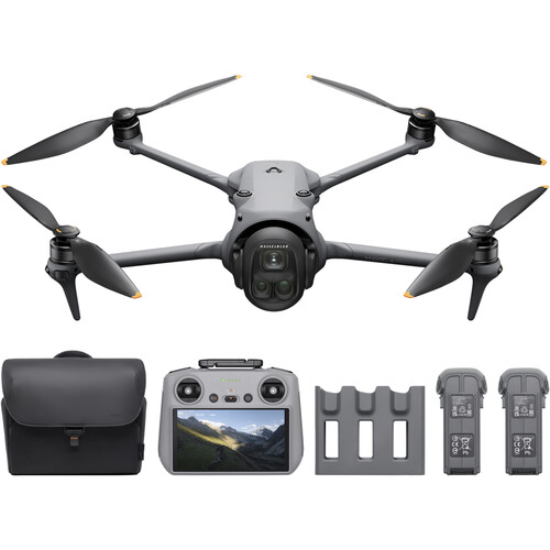
DJI Mavic 4 Pro
1. Enhanced Imaging System
1-inch CMOS Sensor: The Mavic 4 Pro features a larger 1-inch CMOS sensor, capturing more light and delivering clearer, more detailed image quality. This is especially noticeable in low-light conditions, resulting in sharper photos and videos with less noise.
4K/60fps Video Recording: Supports high-definition video recording at up to 4K resolution and 60 frames per second, ensuring a smooth video experience even during dynamic shooting.
HDR Video and Photos: Enhanced High Dynamic Range (HDR) performance preserves more detail in both bright and shadowy areas.
2. Longer Flight Time
Maximum Flight Time: Approximately 46 minutes: Equipped with a more efficient battery, the Mavic 4 Pro offers longer flight time compared to its predecessor, the Mavic 3, making it ideal for extended shooting missions and reducing the frequency of battery changes.
3. Enhanced Obstacle Avoidance Capabilities
Omnidirectional Obstacle Avoidance Sensors: The Mavic 4 Pro is equipped with multi-directional obstacle avoidance sensors (front, rear, up, down, left, and right), enabling it to better perceive its surroundings and avoid obstacles, making flight safer.
Advanced Pilot Assistance Systems (APAS) 5.0: In complex environments, the Mavic 4 Pro's obstacle avoidance system intelligently calculates the optimal path to avoid collisions and ensure stable flight.
Advanced Pilot Assistance Systems (APAS) 5.0: In complex environments, the Mavic 4 Pro's obstacle avoidance system intelligently calculates the optimal path to avoid collisions and ensure stable flight.
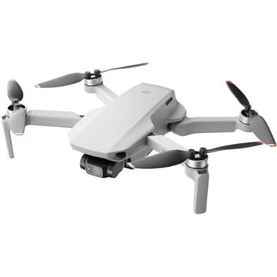
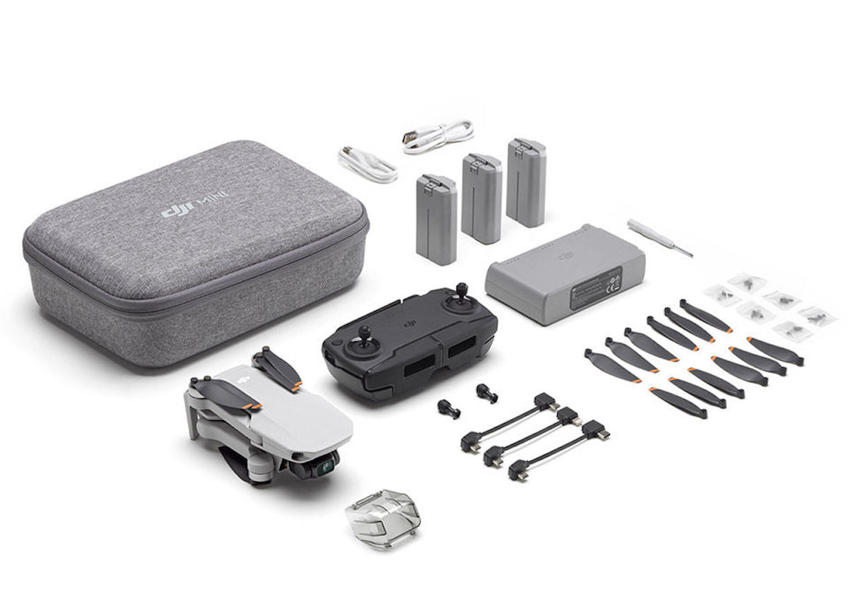
DJI Mini
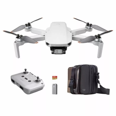
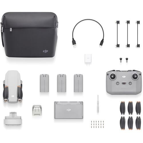
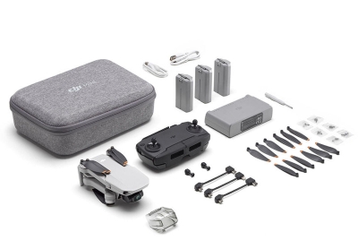
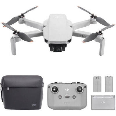
DJI Mini 2 Aerial Camera Bundle
Regular Price
$499.00
Sale Price
$499.00
Regular Price
$0.00
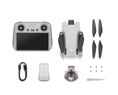
DJI Mini SE Fly More Combo
Regular Price
$459.00
Sale Price
$459.00
Regular Price
$0.00
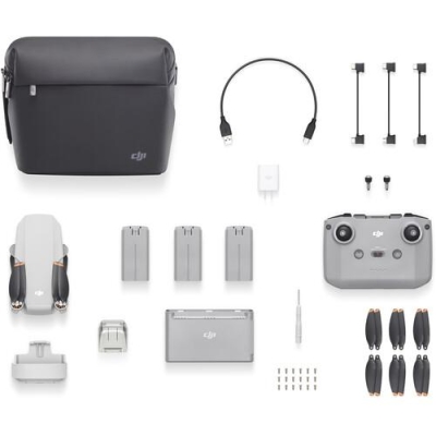
DJI Mini 2 Fly More Combo
Regular Price
$599.00
Sale Price
$599.00
Regular Price
$0.00
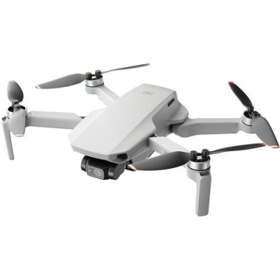
DJI Mini 3 (DJI RC)
Regular Price
$439.00
Sale Price
$439.00
Regular Price
$0.00
DJI Mini 2 SE Fly More Combo
Regular Price
$429.00
Sale Price
$429.00
Regular Price
$0.00
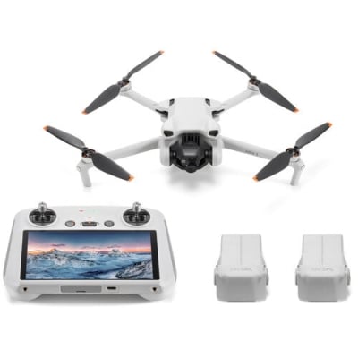
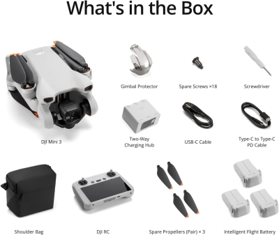
DJI Mini 3 Fly More Combo (DJI RC)
Regular Price
$575.00
Sale Price
$575.00
Regular Price
$0.00
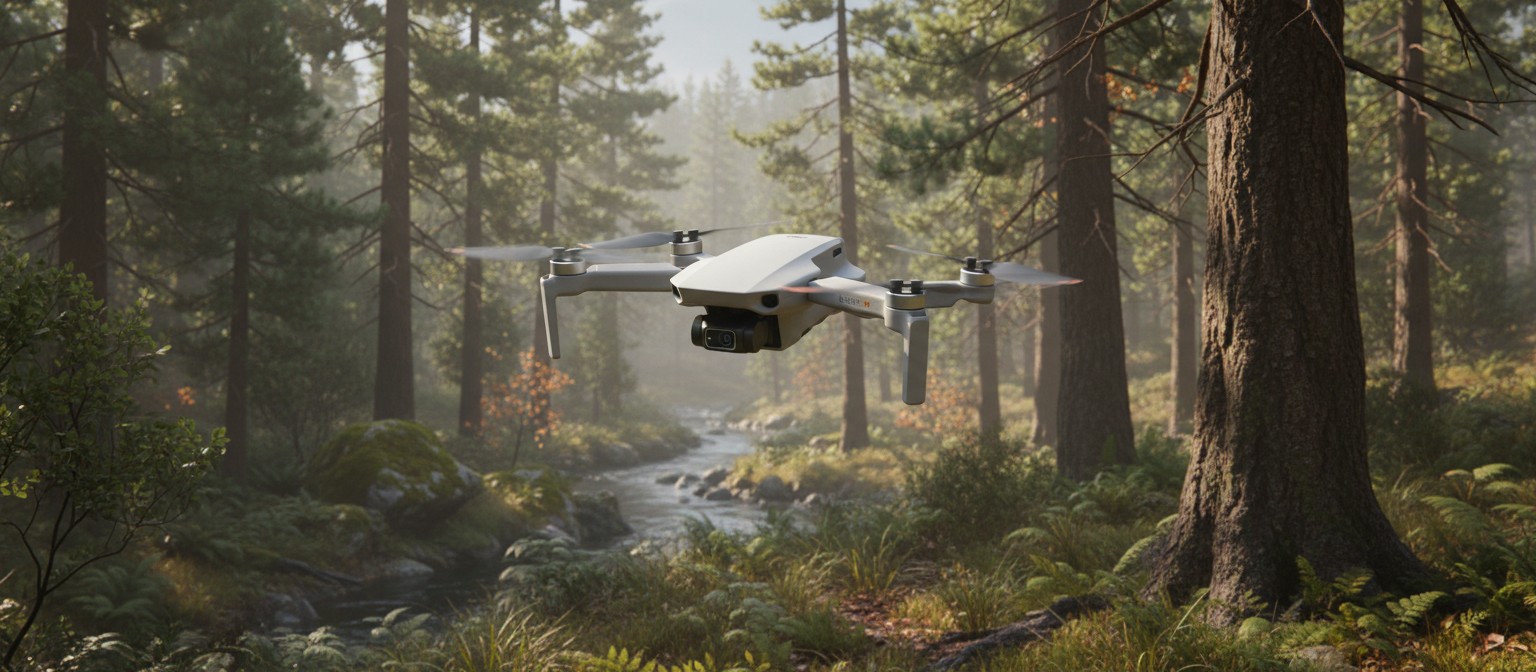
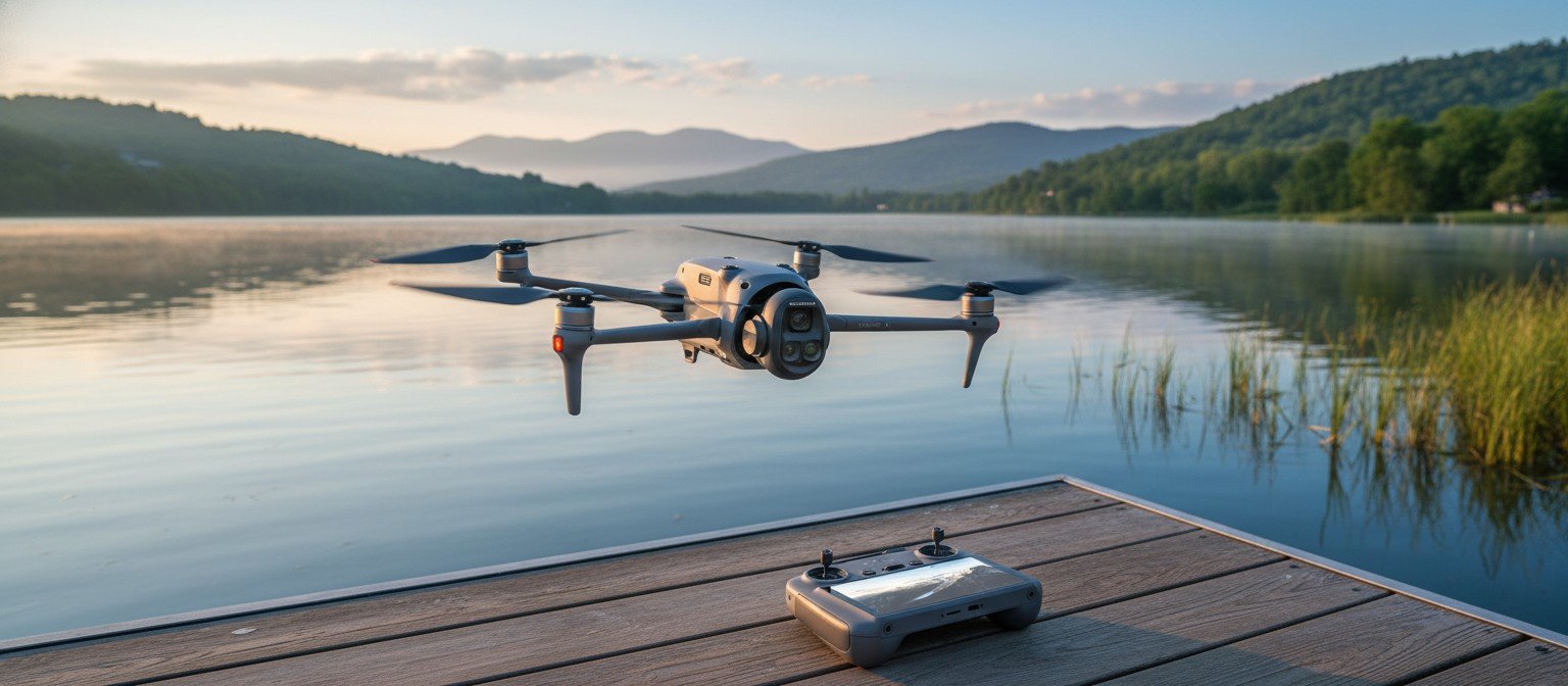
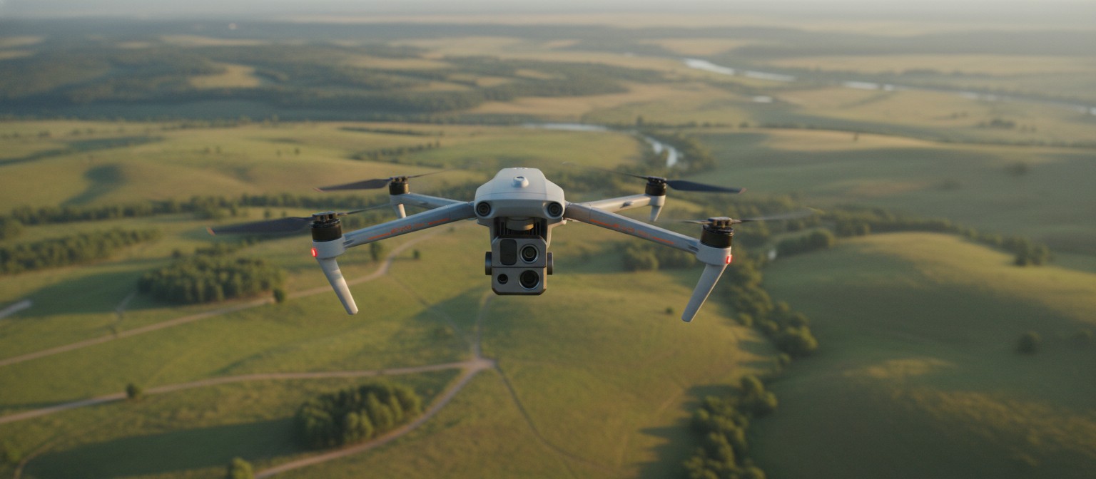
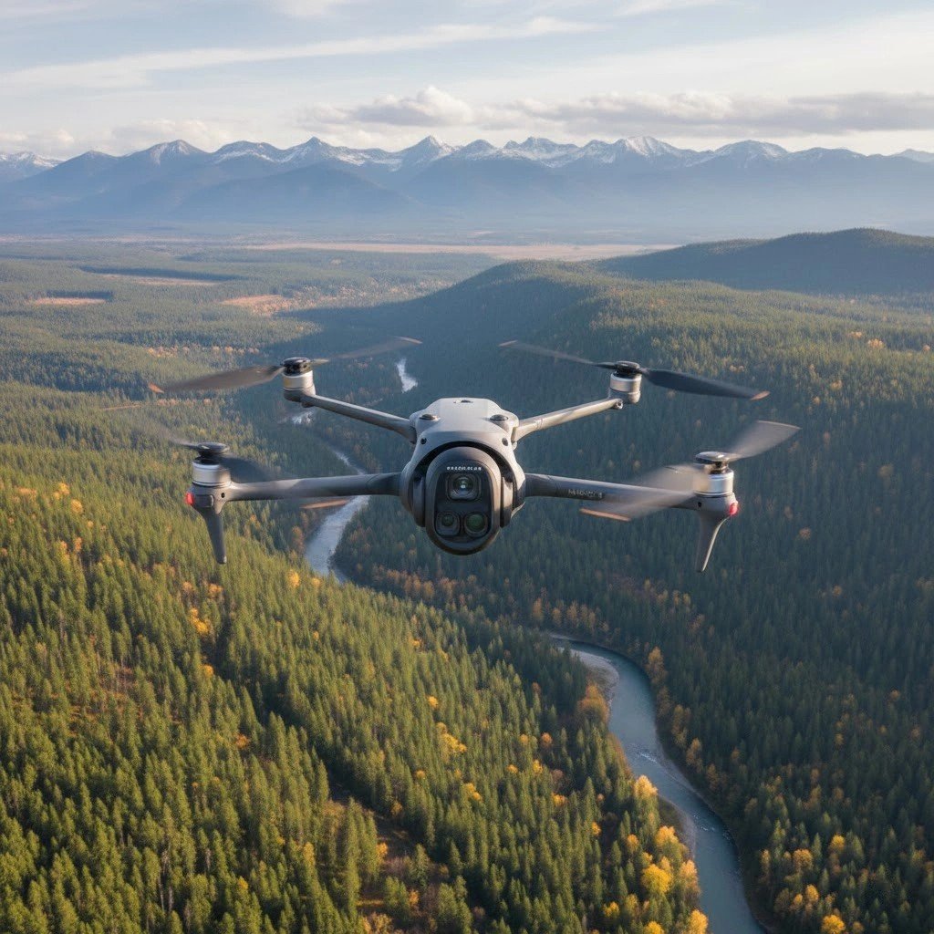
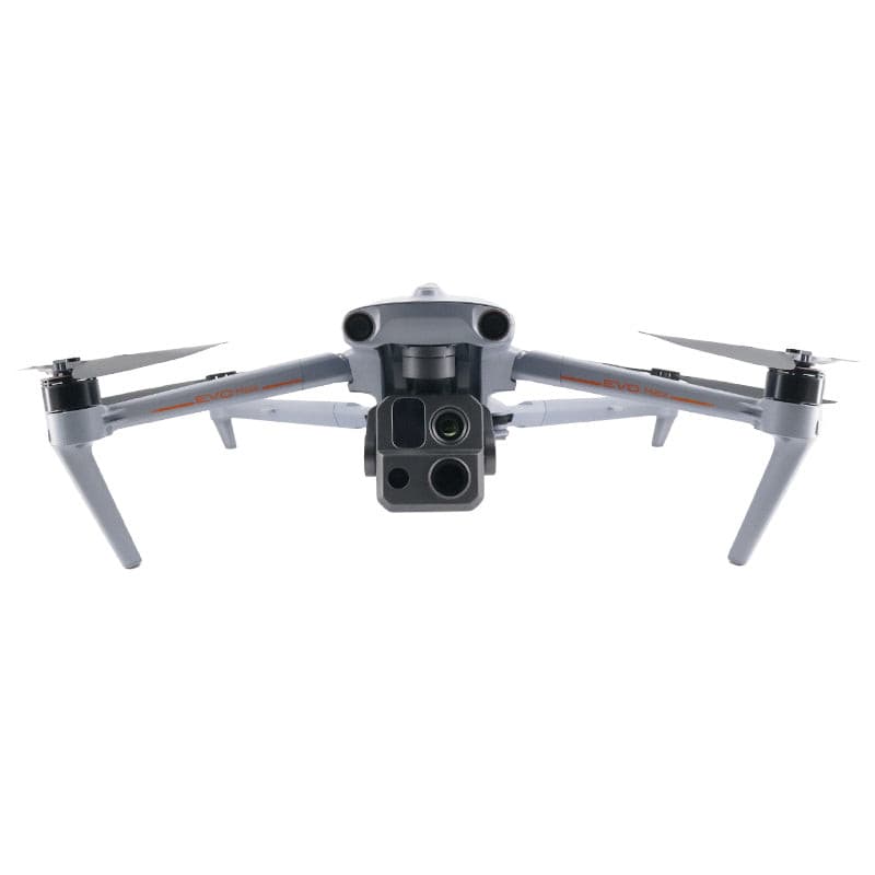
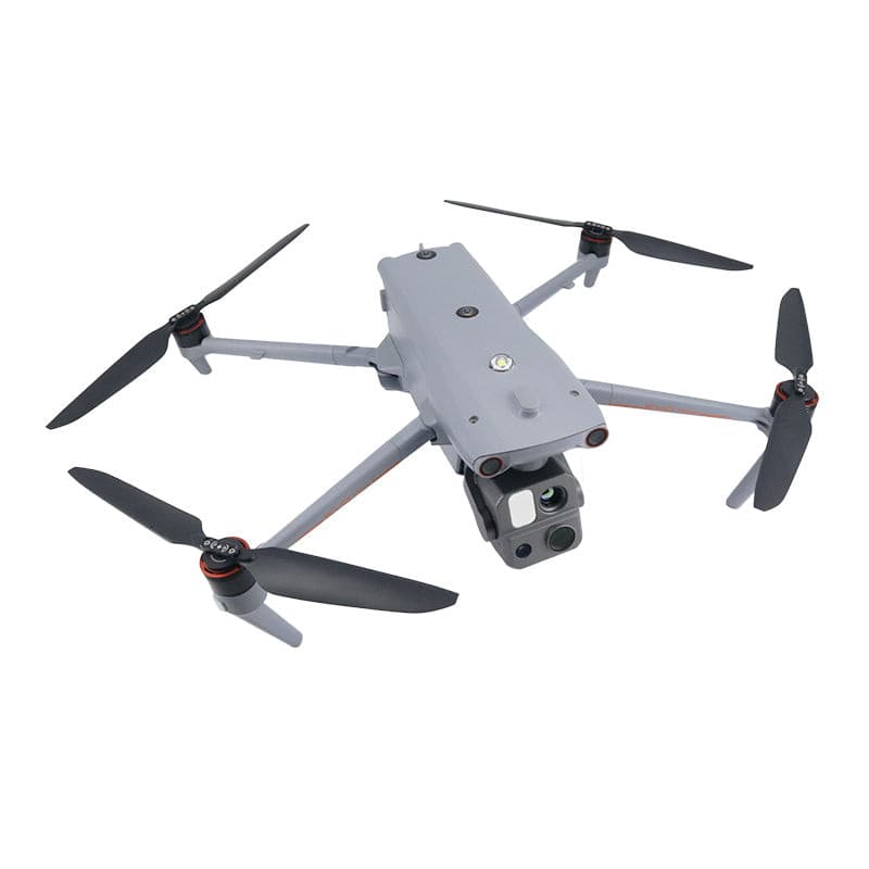
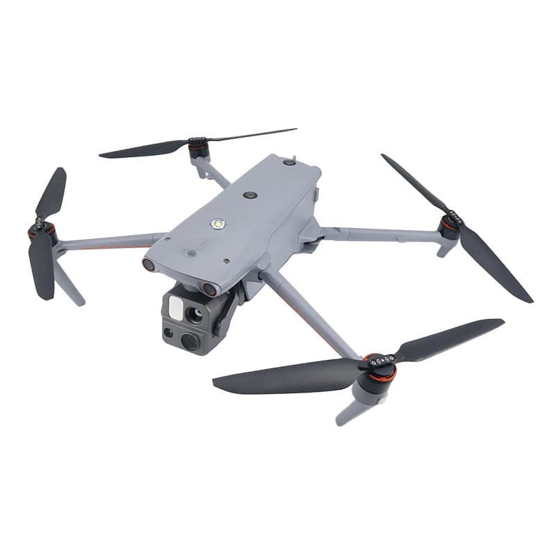
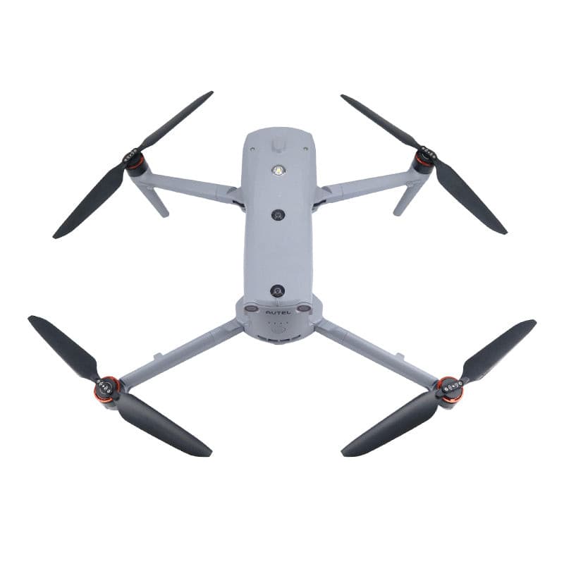
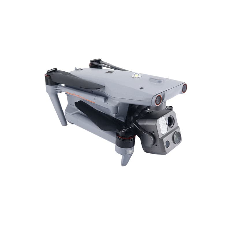
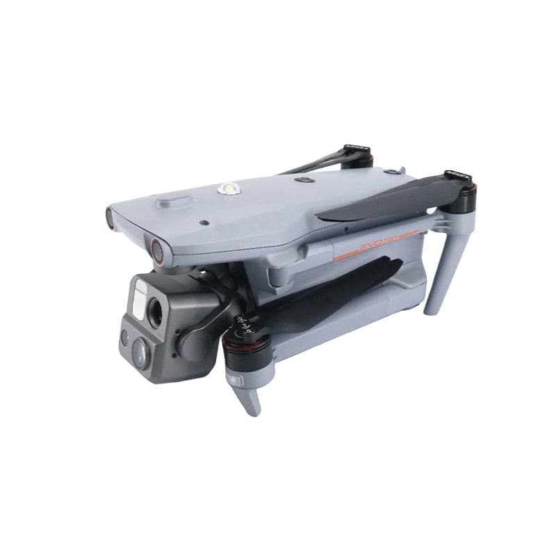
DJI Mavic Series


About Drones
Drones significantly improve the efficiency of photography, surveying, and monitoring by providing a highly efficient aerial perspective, helping users obtain more accurate data. They can access hard-to-reach areas, reducing human risk, and bring significant cost savings and safety improvements in multiple industries such as agriculture, environmental protection, and construction.

Email: [email protected]
Time: Mon – Fri:9 AM – 6 PM (GMT+8)